

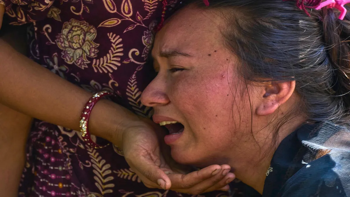
Sudden massive flood near Bhotekoshi-Lhende Khola system in Rasuwa district located on Nepal-Tibet border. It destroyed homes, roads, bridges and vital infrastructure. After this, the death toll has rapidly increased to close to 300, while hundreds of people are still missing. Initial reports suggested that the ice slide might have been caused by an earthquake, but later satellite images and geological investigations revealed that the cause was not a tectonic earthquake, but a glacier/ice fall and rapid descent of debris. Earthquakes, floods and landslides, why do such disasters keep happening again and again in Nepal?
The frequent occurrence of disasters in Nepal is due to the collision of two tectonic plates, the rugged structure of the mountains, the warming of the ice regions (cryosphere), heavy monsoon rains, unstable slopes and infrastructure built in narrow valleys. Because of this, major earthquakes and natural disasters occur more often in this country.
- Danger of earthquake-The Indian and Eurasian tectonic plates are still moving towards each other and colliding. The Indian Plate is moving towards the Eurasian Plate at a rate of about 20-21 mm per year. This collision began about 50 million years ago and continues today, causing constant changes and pressure in the Earth’s upper layer (crust) beneath the Himalayas. For this reason, the risk of earthquake remains very high in Nepal.
- Danger from rivers – Nepal has some of the highest peaks in the world, but the rivers there often flow through very narrow and steep valleys. This thing becomes very important during floods. When a lot of water suddenly enters a narrow valley in the Himalayas, it has very little space to spread. Instead, the force of gravity pulls it rapidly downwards.
- Warming Himalayas-Hindu Kush The Himalayas are warming rapidly, causing glaciers to lose mass and retreat. The rate of glacier melt in the Hindu Kush Himalaya has doubled since 2000, according to the latest 2026 assessment by the International Center for Integrated Mountain Development (ICIMOD). It also warns that monitoring is inadequate: only a few glaciers are monitored over long periods of time in line with international standards.
- A 2020 inventory of glacial lakes lands—the United Nations Development Program (UNDP)—identified 3,624 glacial lakes in the Kosi, Gandaki and Karnali basins, of which 47 were considered potentially dangerous – 25 in Tibet, 21 in Nepal and one in India. But there is a significant problem with simply counting these lakes. The risk map itself may change.
- Glaciers/ice and rocks – Climate experts say the recent floods were probably caused by ice and rocks falling from the glacier, while initial reports suggested landslides triggered by the earthquake. Later analysis by the US Geological Survey revealed that the cause was not an earthquake, but the collapse of a glacier. This difference matters, but on a large scale the danger remains the same. The hot and volatile atmosphere of the mountains provides debris, steep slopes provide speed, rivers provide channels, and ultimately, the people living below bear the brunt
- Monsoon havoc-Nepal falls in the path of South Asian monsoon. Heavy rains flood mountain slopes, increasing the risk of slope slides, landslides, river blockages and flash floods. The World Bank has repeatedly stressed that Nepal is at high risk of floods and landslides, and its difficult topography further increases climate-related risks.
- Geographical features of Nepal – The Himalayas are young, steep and geologically active mountains. This means that the slopes here are naturally unstable. Added to this are heavy rains, earthquakes, road construction, deforestation, land use change, erosion and glacier retreat, all of which further increase the risk of slope sliding.
- Narrow valleys – Nepal’s topography creates another problem—there are very few flat sites for construction. Settlements, roads, bridges, hydroelectric projects and other infrastructure are often built along valleys and river courses. These are the same paths through which flood waters and landslides pass.
- Difficulties in rescue operations – Even after a disaster, Nepal’s geographical structure makes it difficult to normalize the situation. Landslides may block the only road leading to a settlement. If the bridge breaks, the entire valley may be cut off. Due to heavy debris, vehicles are unable to reach the affected areas. The geographical features that make an initial disaster more devastating also make relief and recovery efforts slower and more difficult.
- There are many dangers – to call Nepal merely a country victim of “natural disasters” is to miss an important aspect of the story. The World Bank has said that Nepal’s buildings may be more vulnerable to earthquakes, floods and landslides due to poor construction methods and inadequate standards of infrastructure. The danger may increase further due to rapid urbanization. Thus, Nepal is at risk not because a single extreme natural disaster occurs, but because multiple hazards coexist in one place.


